Nicaragua
Profile
Capital
Area
Population
Population density
Government
Language
Currency
HDI
Rural Data
Rural Popullation
Nº rural communities
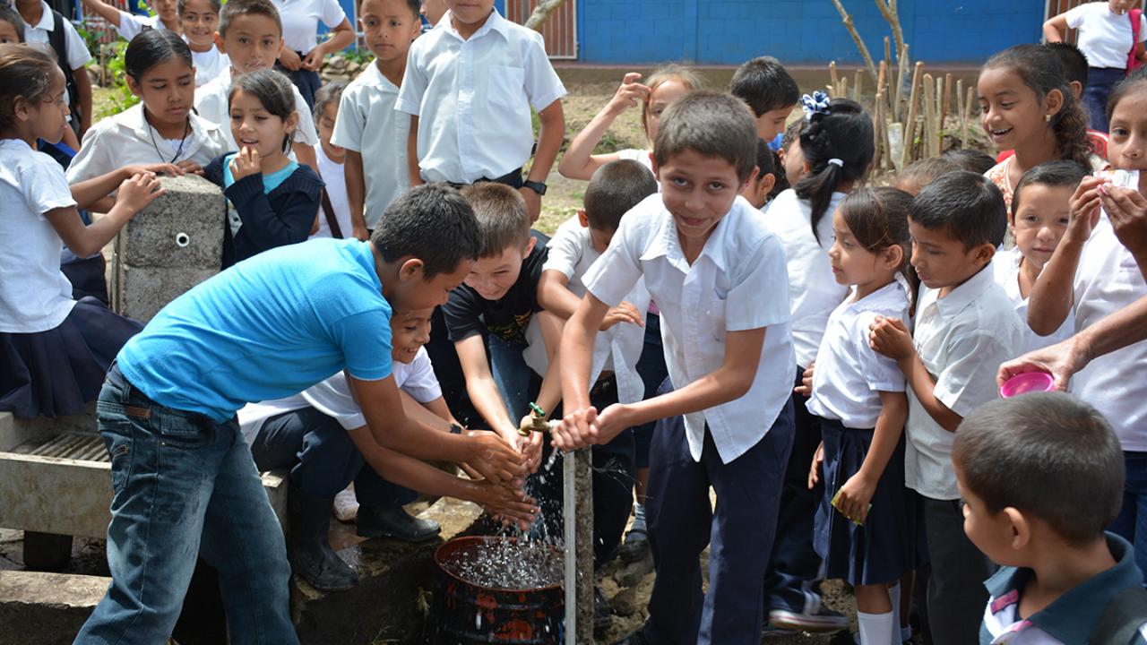
Nicaragua is located in the middle of the Central American isthmus, sharing its northern border with Honduras, and its southern border with Costa Rica. It has a long coastline along the Pacific Ocean and the Caribbean Sea. The Nicaraguan society is multiethnic and made up of indigenous, Afro-descendants, white and mainly mestizo people. Spanish is the country’s official language, although on the Caribbean coast they speak mostly Miskito, Mayagna and English-based Créole.
Inhabited by Pre-Columbus peoples, the current territory of Nicaragua was conquered by Spain in the 16th Century. After having been part of the Spanish Empire (1502-1821), the First Mexican Empire (1821-1823), the United Provinces of Central America (1823-1824), and the Federal Republic of Central America (1824-1838), Nicaragua emerged as an independent country in 1838, under the name of State of Nicaragua, and was called Republic of Nicaragua as from 1854. Nicaragua is a tropical country with volcanoes and, inland, it has two big lakes: Lake Managua (known by the country’s inhabitants by its aboriginal name of Xolotlán) and the Great Lake of Nicaragua (also known as Cocibolca or Lake Nicaragua).